Administrative Areas
WorldMove provides data for administrative areas for each city. Data are provided by zip files containing shapefiles (.shp) which describe the boundaries of the administrative areas.

Grid-cell Coordinates
WorldMove provides coordinates for grid cells in each city. The coordinates are provided in a json file with index as the key and the coordinates as the value. Coordinates are the centers of the 1km x 1km grid cells.

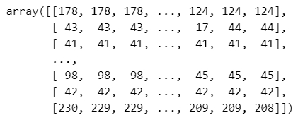
Grid-cell Population
WorldMove provides population data collected from the WorldPop project for each grid cell in each city. The data are provided in matrix format in numpy files (.npy), where matrix is with shape (grid_num_rows, grid_num_cols) covering the entire city area. Each cell in the matrix contains the population count for that grid cell.

Grid-cell POI
WorldMove provides Point of Interest (POI) data for each city. The data are provided in numpy files (.npy) with the same first two dimensions as the population data, where each cell contains a list of counts of each POI type. Matrix is with shape (grid_num_rows, grid_num_cols, poi_type_num).

Generated Trajectories
WorldMove provides trajectory data generated for each city. The data are provided in numpy files (.npy) with shape (num_trajectories, trajectory_length), where each trajectory is a sequence of grid cell indexes.